Confluence Gauge
The 10 mile section below the Confluence gauge is called the Middle Yough. It rates a 12 on the Keel Hauler Scale.
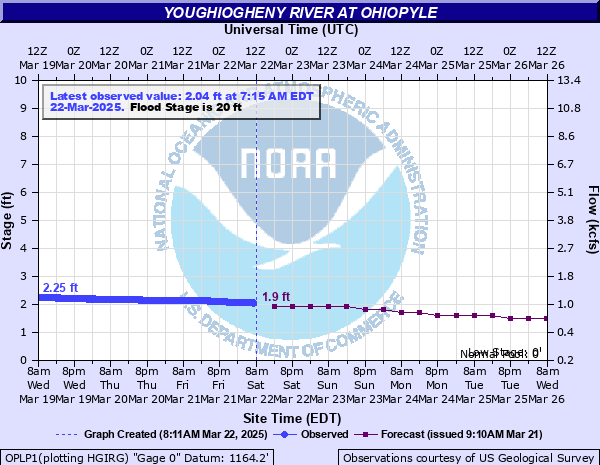
Ohiopyle Gauge
The lower Yough is a popular WW rafting section. It rates 23 on KH Scale, at its normal level at Ohiopyle of 1.5' to 3'.
Above 5' the rating increases to 26.
Ohiopyle 5 day prediction
If the time on top of charts is not current, right click "Refresh" on chart.
If levels look like they will be too high for your skill level, you could move upstream to the Casselman or Laurel Hill Creek.
Casselman River Info
Lower Yough paddling requires a daily or yearly pass. See State Park Whitewater Boating Info
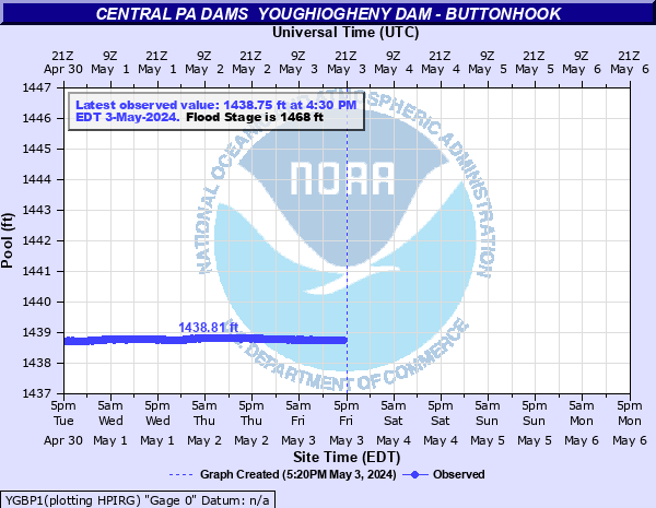
Summer Pool for Yough Res is 1439'. If lake is lower or higher than this they will modify the release.
KHCC Area Map
State Park Maps
Ohiopyle State Park
Yough Water Trail Info
Middle Yough Rapids
Lower Yough Rapids
AWA Middle Description
AWA Lower Description
Detailed Boater's Guide
Yough Bike Trail Map