Big Change in Plans

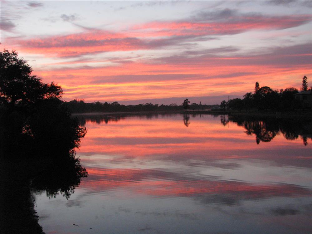
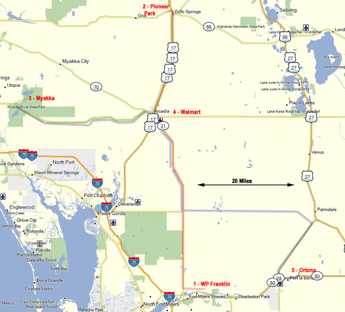
After two days of biking we left Augusta, GA early on Saturday.  Our 250 drive to Mcclenny, FL, was through an off-on rain all day long.. We parked at another Super Walmart and would only be 30 miles away from our planned campsite at Ocean Pond Campground in Osceola NF. We got there at 8 AM and hoped to find a nice campsite.

When we got there we saw this big sign. “THE OCEAN POND CAMPGROUND IS CLOSED UNTIL FURTHER NOTICE.” I had checked a few days ago and it was not on their website. No reason was given. So we parked there and got on the internet to do some new trip planning since we had planned to be here for 10 days.

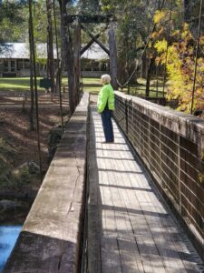
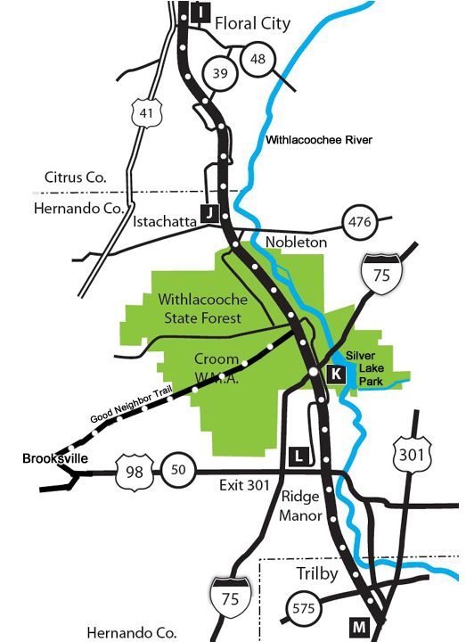
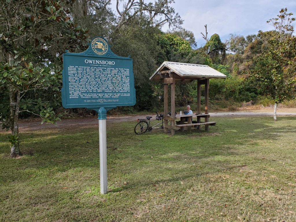
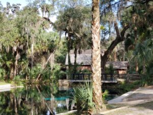
We quickly found a site for 3 nights at O’leno State Park north of High Springs. It was only a 45 minute drive away and finally we will have electricity and hot showers.

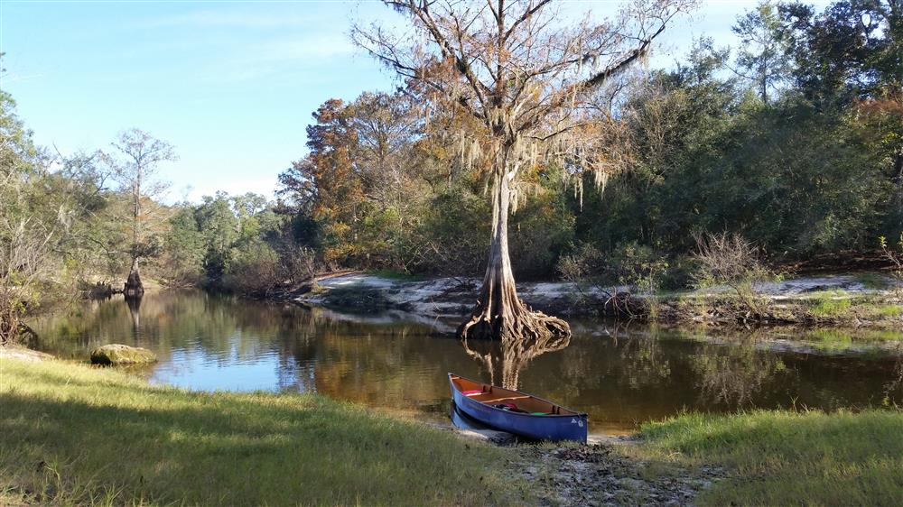
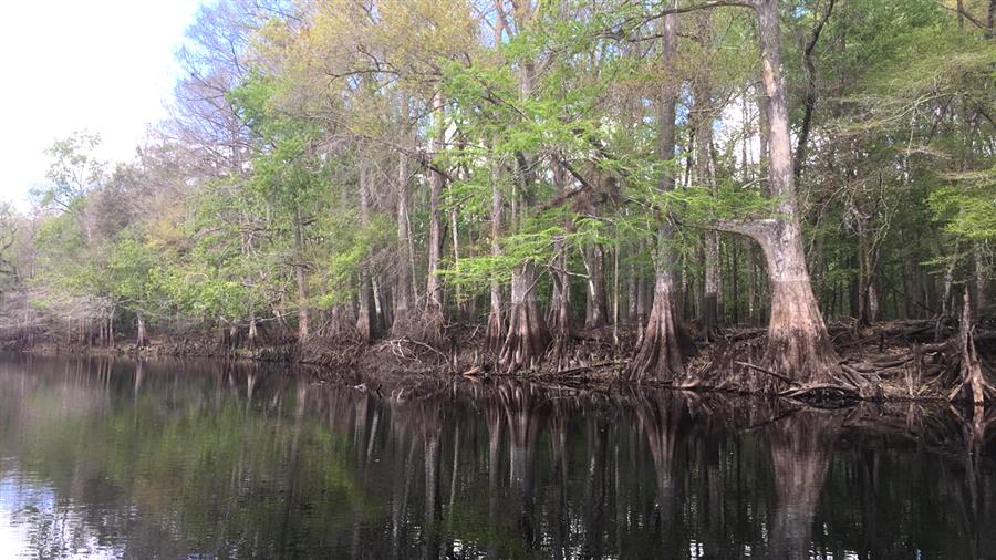
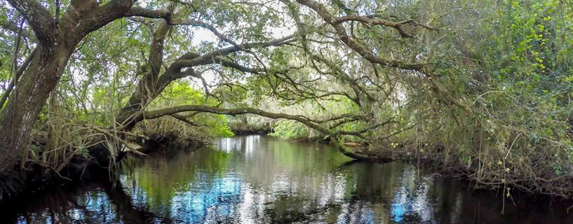
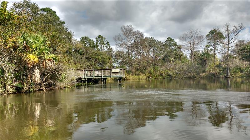
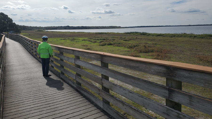
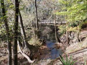
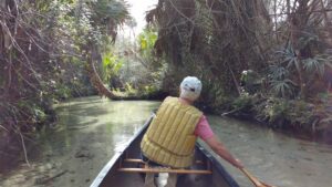
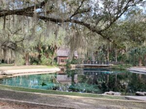
O’Leno is an old Florida State Park on the Santa Fe River where it disappears to go underground for a few miles before rising up again and confluences with the Ichetucknee River and then eventually empties into the Suwannee River

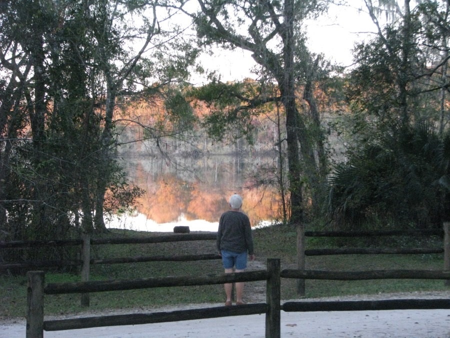
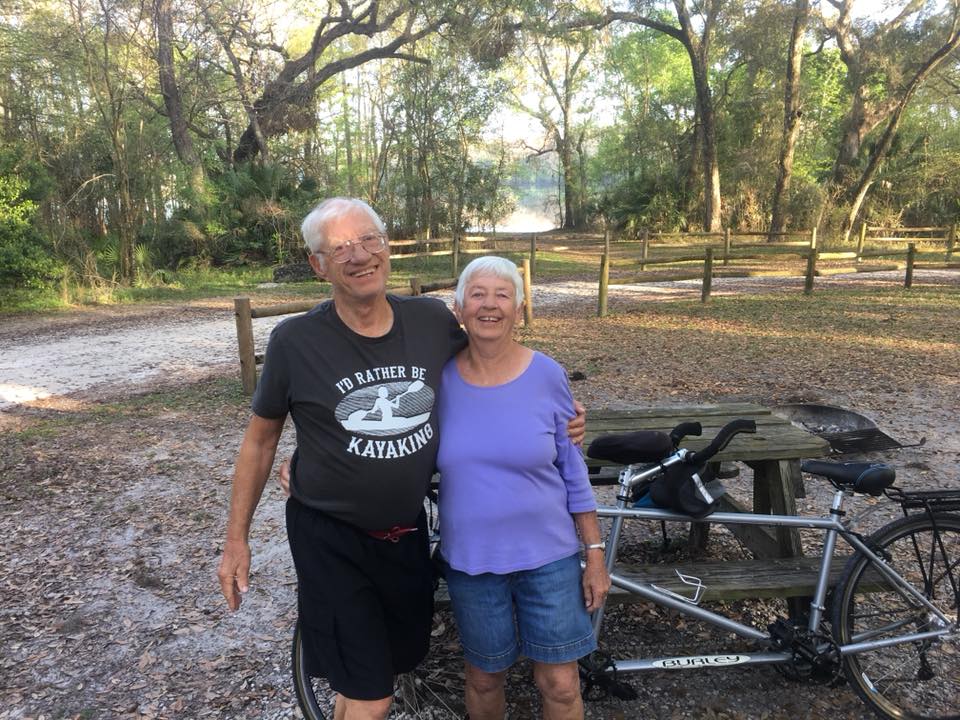
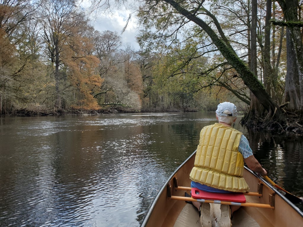
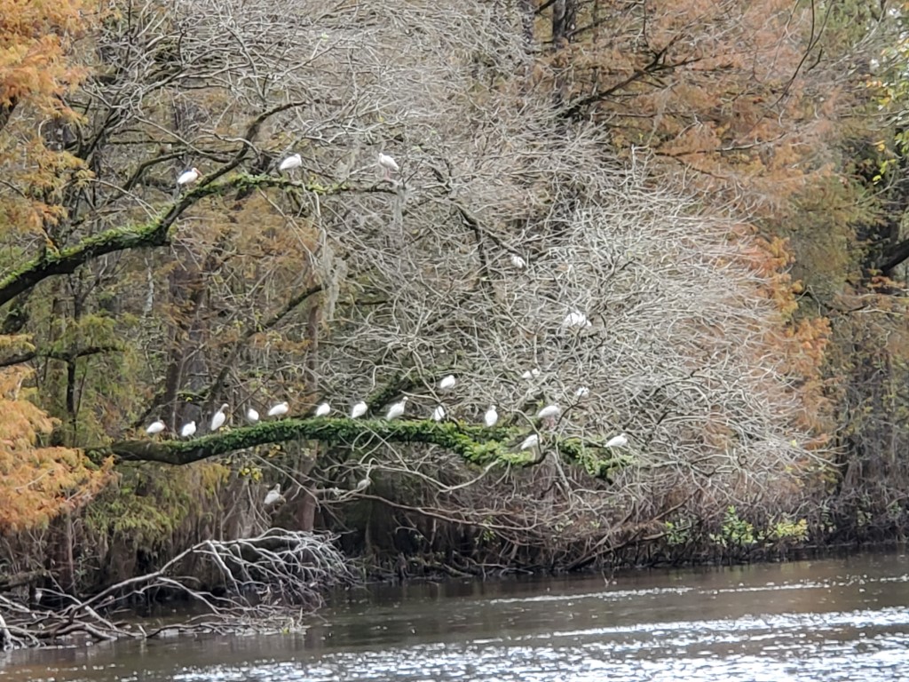
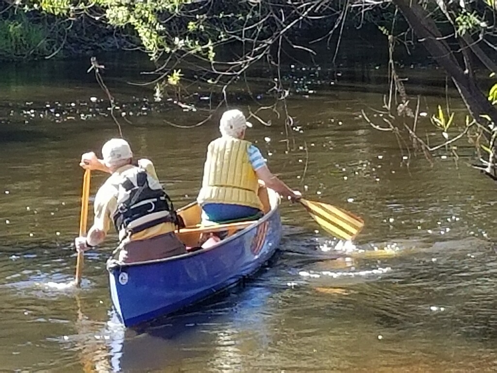
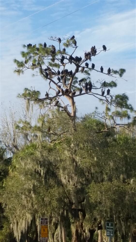
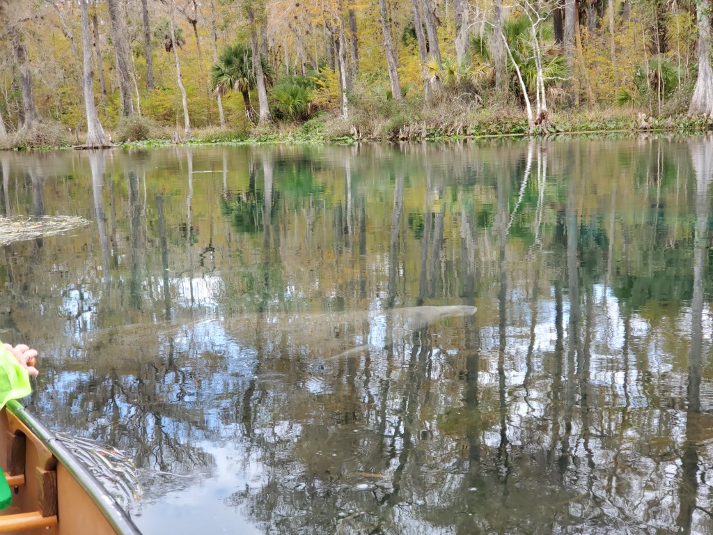
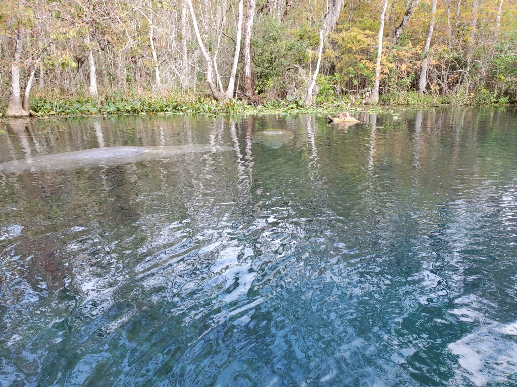
We found we could probably get into Juniper Springs, East of Ocala until the next weekend. We love to paddle the river and we have been coming here for 50 years.

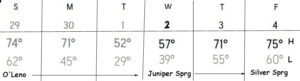
So now this is our new Tentative Trip Schedule

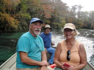
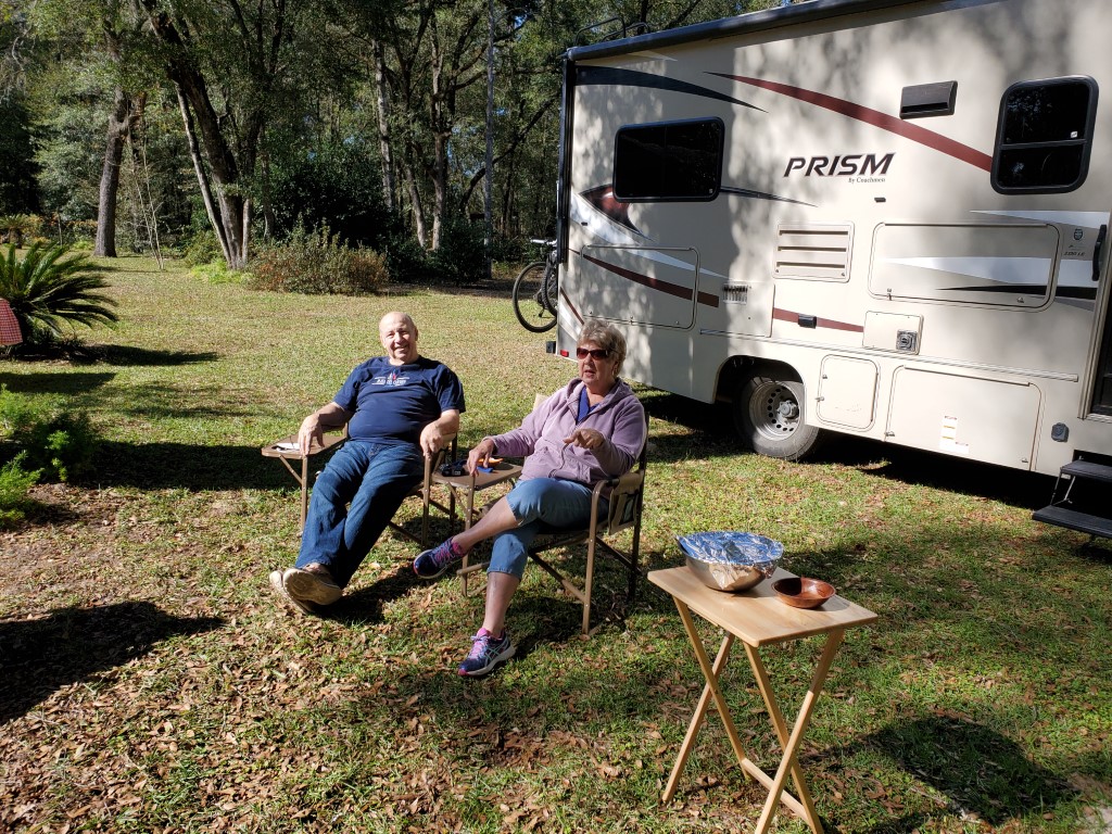
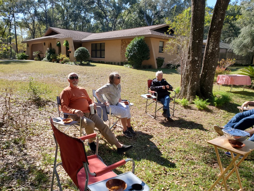
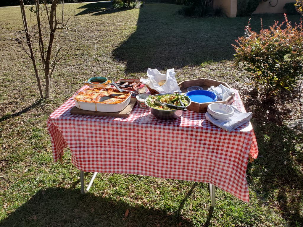
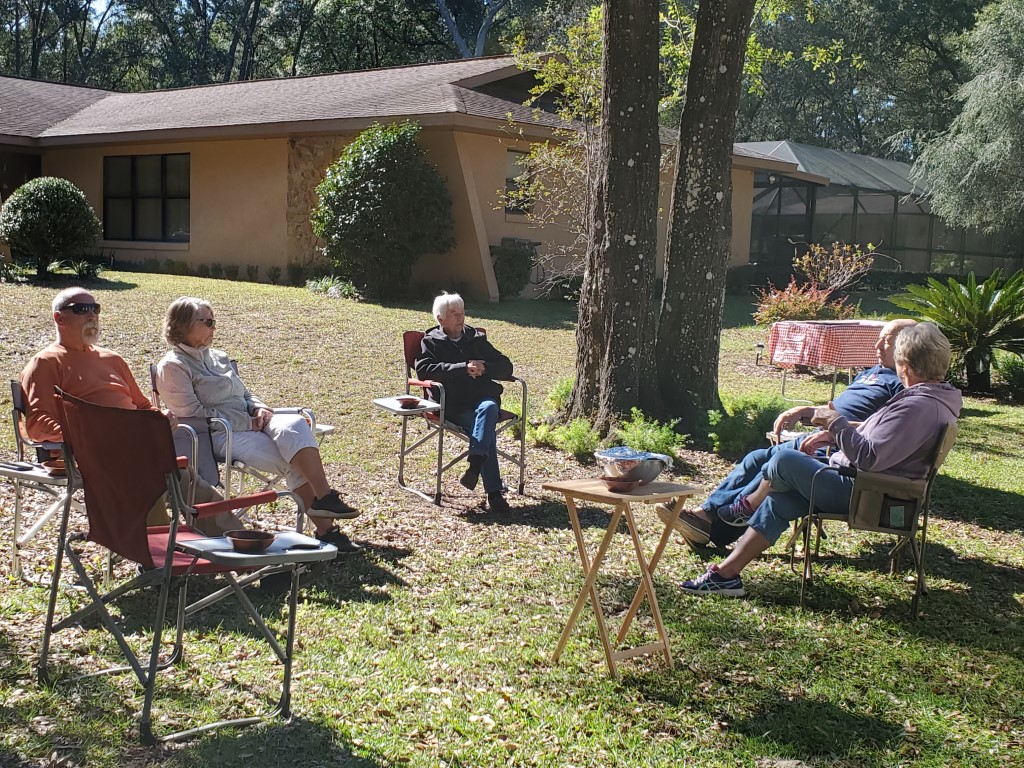
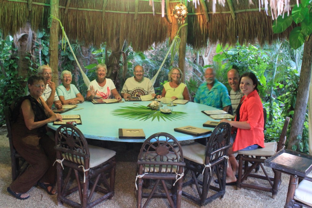
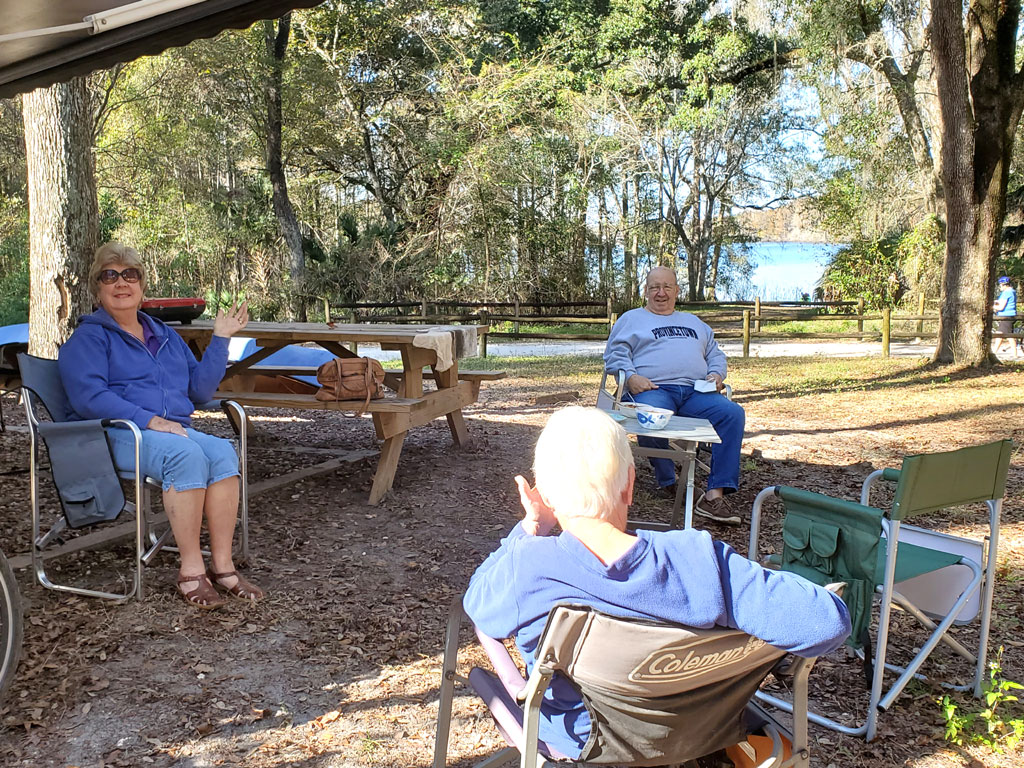
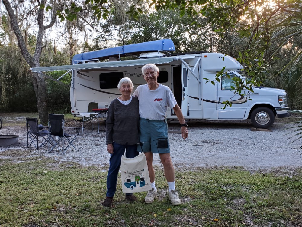
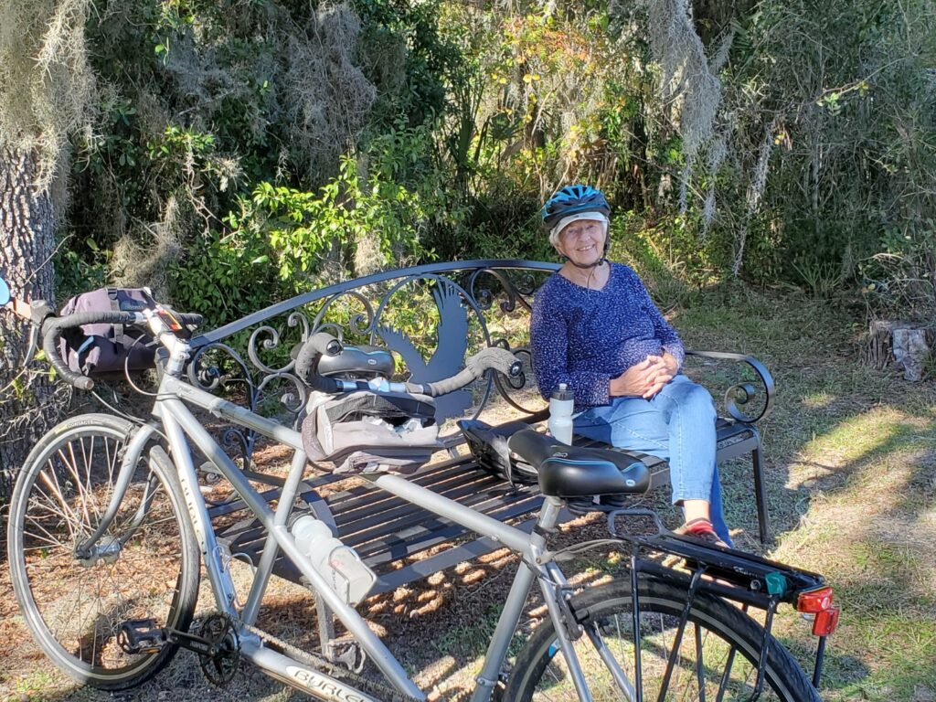
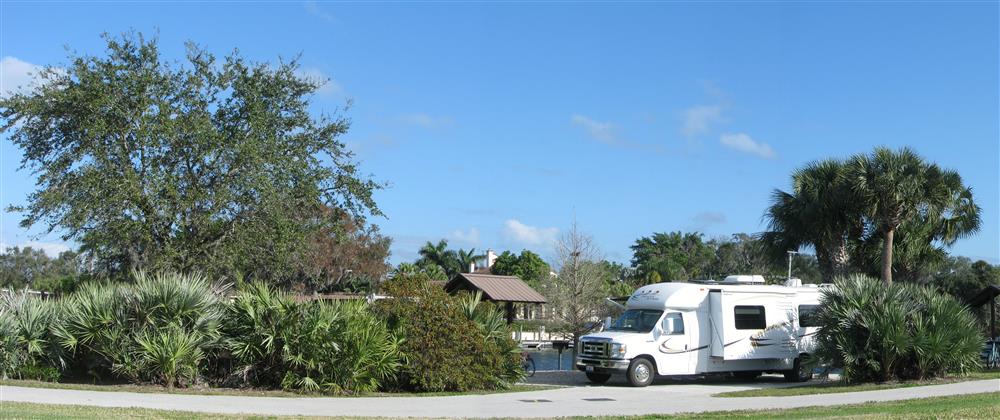
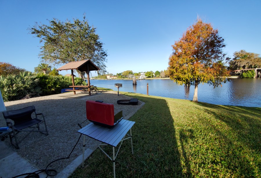
We added 3 more days to our reservations at Silver Lake, Cypress Glen Campground. We contacted our friends Paul & Helen Tempesta who live near there in Inverness to see if they would be around on Saturday. Not only will they be there but they were having two friends, Rob and Shirley from Martha’s Vineyard, MA over for a visit. We used to camp with all of them at Xpu-Ha in Mexico and it’s been 4 years since we have seen them. So it will be a nice reunion.


Three Nights at O’Leno State Park and now at Juniper Springs

When we drove over to O’Leno we made on-line reservations for site 12 in Magnolia Campground which is right near the hiking trails.

Sunday turned out to be a nice day so we took a short hike, the pictures were in the last blog. It was a stormy cold night and cool morning on Monday, so I stayed in and updated the blog. It was cool and sunny Tuesday so we rode our bike around the park, it was a little too cool for Peggy. Wednesday we woke up to a heavy frost and left at 9:30 AM for the short drive to Juniper Springs, arriving at 11:30 AM. We got our favorite site #15 and will stay for two nights. Here are the temperatures for past few days and next two. It looks like it will be warming up again.

We took a bike ride around the park and arranged for a shuttle on Thursday on the 7 mile Juniper Run. We took a bunch of pictures in the park and found out that they closed all the boardwalks again. We plan to just carry our canoe from our campsite trail to the river  and launch at end of the trail. Click to read  My blog last year which describes an almost identical trip, with some added history.


Juniper Springs & Silver Springs

We got to Juniper Springs Campground around noon on Wednesday. We arranged a free shuttle for Thursday morning with one of the volunteers in the park. We explored and took some pictures which we posted on our last blog. We found that they again have their perfectly good boardwalk closed, claiming there are some rotted supports. We walked it and found it fine, it is the prettiest walk in the park. They also have the canoe launch boardwalk closed, maybe because they are not renting any boats, but it makes for a very long walk to get from the parking area to the launch spot.

Our campsite was only a few hundred yards from the water, an illegal launch of course. It was only about 40oF when we launched at 9:30 AM. There were no other boats on the river and it quickly warmed to near 70 when we got to the take-out, 2-3/4 hours later. This river has more maneuvering than any river I have ever paddled, Peggy was exhausted at the end of the 8 mile paddle. She is great at draws and cross-draws, keeping us away from all the stumps and branches.

It was a warm evening and it was 60oF on Friday morning when we left at 8 AM to paddle the Silver River. They open early but we were the first one to launch. Since Peggy was still tired we only paddled about 4 miles downstream and back. We didn’t see another boat until we were almost all the way back but we did see 10 Manatees. Big mothers and tiny babies. Hundreds of Anhingas, some Heron and Egrets and one alligator. It was a beautiful sunny day.

We got off the river early to do some grocery shopping, and decided to spend another night in a Walmart parking lot.

On Saturday morning we drove over to the 49st parking area for the Marjorie Harris Carr Cross Florida Greenway paved bike trail. We have never tried this trail and it passes right through Ocala and over I-75. The trail is very hilly and in a deep woods with all sorts of mountain bike trails crossing .

We took a short ride over the bridge and just beyond where the Santos Trail starts then back for a nice 11 mile early morning bike ride. Temps in low 60’s.


Peggy looking through the viewing window to see I-75 below.

They put this bridge in for wildlife. Deer, Bear, Coyotes, and Panthers have been caught in the trail cams.

Then Saturday afternoon we plan to visit our friends in Inverness.

A Day with Our Friends in Inverness


Paul & Helen invited us along with Rob & Shirley to their beautiful home for a nice outdoor get together.

We all met in Mexico at the Xpu-Ha Campground in about 2012-13, and have been friends ever since then.


It was a lot of fun getting together. We did meet here once before about 4 years ago.

It was a cool but sunny day and we kept our social distance so as not to take any risks with Covid-19.

Helen put on a great afternoon Lasagna Dinner with baked apple kuchen desert. She could have fed this crew for a week with her wonderful cooking.

Rob & Shirley are from Martha’s Vineyard and Paul and Helen are from Boston before relocating to FL. So those Nor’easters had to get used to our Ohio accents.

Rob & Shirley have been on the road with their Prism Camper since summertime. This is their first time back to FL since they were here 4 years ago.

Big dinner ready for the group, thanks to Helen who is an amazing cook.


Here s the gang in 2020

This picture is from a dinner at Oscar & Lalo’s along the Mayan Riviera in 2013. We all look the same, no aging with this group, don’t you think?

Cypress Glen Camp at Silver Lake for 11 Days

We left Paul & Helen’s on Sunday morning to drive only 25 miles to one of our favorite campgrounds. The area is called Silver Lake which has 2 campgrounds with water and electric hookups and one rustic campground for tents. These campgrounds are in a State Forest and they now take reservations. However with the Covid restrictions this year they are only using 50% of the sites so we have lots of room and we are not near anyone. As I mentioned a few weeks ago we had to find different places to camp from our original schedule since Ocean Pond Campground was closed so we added 3 more days here.


Canoeing/Kayaking

Beside this being a beautiful area, the two main reasons we come here is for the canoeing and the biking. We are only 100 yards from launching our canoe into a wide spot on the Withlacoochee River called Silver Lake. The river is slow so you can paddle upstream or downstream from our campsite and then paddle back so no vehicle shuttle is necessary. However if you do want to set up a shuttle you can drive down the road about 10 miles to a wayside park in Nobleton, drop off your vehicle and use the paved bike trail to bike back to the campground. You can also paddle upstream and try the narrow winding Little Withlacoochee if the water level is high enough or continue upstream on the main river past the Crooked River Campground as far as you like and then paddle back to camp.

Biking

You can bike 1-1/4 miles through the campground and reach the 46 mile long paved Withlacoochee State Trail at mile marker 9. From that trail here you have 3 options. Pedal south to Trilby the start of the trail, Pedal north toward Floral City & Inverness or go north about 1 mile to the 10 mile long paved Good Neighbor Trail and go west to the city of Brooksville. The map I posted shows the options, the white dots are one mile markers.

This is a view of the river near Crooked River Campground upstream from Silver Lake

Paul & Helen came over to visit us on Friday with their new Chevy Volt. They were so nice and brought over a prescription that I had mailed to them that was supposed to come before we left our visit to their home in Inverness. We had a nice afternoon talking about old trips to Mexico and the past election. It was a nice rest day and gave me time to write this blog.

Here is a picture Helen took a couple of years ago at the very same campsite.


The Withlacoochee River is very pretty and is lined with Cypress trees and it flows through state forest land without any private homes along the way.

We will be here at this same campsite for 8 more nights. We plan to bike & paddle before we move head a little further south to Lithia Springs outside of Tampa.

Cypress Glen– Paddling & Biking

The temperatures have been below normal since we got to Cypress Glen on Sunday 12/6.

On Wed afternoon 12/9 we took our first 16 mile bike ride on the Withlacoochee bike trail to Lake Townsen Park. We didn’t see many other bikers.

Then on Thursday we paddled our canoe upstream and into the Little Withlacoochee River and with the higher river level (350 cfs) we were able to go a ways upstream. It is a narrow creek often blocked by fallen trees. It was about a 3-1/2 mile paddle and took a little over an hour.


Saturday was a rainy day so we waited until Sunday 12/13 to take another bike ride.

It was cloudy but warm and we headed south to the end of the trail near Trilby. Peggy calls this here mountain ride since we have to go up and over US-98 on the bike trail bridge. She never could make it when she peddled her mountain bike but on the tandem with 2 people power we made it right up and over. Since it was a warm Sunday we saw dozens of bikers enjoying the trail.

We took our lunch break at the end of the trail, it was a 21 mile round trip and we averaged over 12 miles/hour. This is twice as fast as we used to average when we both peddled our mountain bikes.


On Monday 12/18  a cold front passed through in the morning which brought an hour of light rain.

By noon it warmed into the high 70’s so we decided to  paddle downstream to Hog Island and back. We took a short lunch break and paddled back upstream, the water level had dropped to 290 cfs and the wind was light so we didn’t get too tired on our 7-1/2 mile, 3 hour paddle.

We saw one big alligator, a few turtles and lots of Heron & Ibis. We never saw any other boats or fisherman anywhere.

Cool Days at Lithia Springs Park

We left Cypress Glen Campground almost a week ago, on 12/19. We did a 20 mile round trip bike ride on the Van Fleet State Trail that runs from Polk City, FL to a place called Mable on SR-50. It is a 30 mile long paved rail trail and goes through a wilderness area which is the headwaters of the Withlacoochee River. The trail has parking at both ends and two places 10 miles from either end. It has one curve and is flat so it is a little boring although it goes through a beautiful wild area. It is popular for group rides. We had peddled it twice before, once from each end, so this time we started in the middle which allowed us to complete the entire trail, we made good time on the trail and averaged over 13 mph.

We were able to get some Propane in Polk City, did some shopping in Lakeland and spent the night at a Walmart in Valrico. We didn’t want to try to get a campsite on a Saturday afternoon so we got to Lithia Springs County Park at 8 AM on Sunday morning, to make sure we would get a nice campsite when the weekend campers left.

There were two empty sites and by the end of the day the place was very empty. Christmas week must not be popular for camping. We took site 36 which has easy access to the river. However the next day we got 2” of rain which brought the water flow up from about 200 CFS to over 1000 CFS, we decided to wait until it had dropped to below 600 CFS before we tried to paddle. We took  4 bike rides on the nice concrete trails that start at the campground and find their way through the big housing complex called Fish Hawk Ranch. It is over 3000 acres and has over 6000 homes, but it has many natural areas and retention ponds.


Most of the bike trails are very winding and pass through these natural areas where you can see Egrets, Ibis, Sand Hill Cranes, Turtles and Alligators.

Some of the trails pass over wooden walkways and along residential streets as well. We are always surprised that more of the residents are not on the trails.

Judi and Larry Fordyce our paddling and traveling friends for years, stopped by for two nights and took the campsite next to us. They were not interested in attempting to paddle the 60oF water since they only had sit-on-top kayaks.

We joined them on a 10 mile bike ride through Fish Hawk, they were surprised how wild most of the area is. If you look at the map you can see our 60 miles of bike rides and only a few of the trails were duplicated.

On Christmas morning when Judi & Larry left, it had cooled to the low 40’s and on Saturday it is supposed to go down to the 30’s. At least we don’t have a 10” snow like they got last night in Cleveland.

A Warm Week at WP Franklin

After a cool couple of weeks as soon as we went further south to just outside of Fort Myers the temperatures went above normal to the low 80’s.

WP Franklin is run by the US Corps of Engineers and is located at a lock on the Caloosahatchee River.

There are only 30 campsites. They all have Electric & water. And being federal all senior pass holders get in for half price, only $15/night with a 14 day limit. But unless you keep trying exactly 6 months in advance it is nearly impossible to get a site. We lucked out on this site which popped up a few weeks after it was initially booked.

Our first visit was in 2006 and for the for the past 6 seasons we have gotten a campsite here.


This year we were able to get campsite 7 which is one of our favorites.

We can launch our canoe into the Caloosahatchee River and paddle 3/4 mi downstream to Telegraph Creek.

Or we can carry our canoe on our small cart about 10 campsites and launch on the upstream portion of the island. They don’t allow canoes to go through the lock.

We can then paddle upriver about 1-1/2 miles to Hickey Creek.


Telegraph Creek is a narrow creek that you can paddle upstream for about 3 miles into an area called Telegraph Creek Preserve, dodging trees and branches all the way.

It is very wilderness like although it does go through a small housing development in the first 1-1/2 miles. On the first day we paddled we saw lots of birds, ducks and turtles but only 3 gators, but it was cloudy. We saw 10 alligators on the second day, which was cool but sunny, and some were on the large size. Most go into the water when they see you coming.

We see some pretty sunsets from camp


If you are not a fisherman, we are not, or don’t have a boat most people find that there is not much to do here.

Those with bikes seldom leave the campground. But we take several different rides in the area most rides less than 10 miles through the neighborhood streets.

When people get to the end of the campground driveway at North River Rd (SR 78), they see the 55 mph traffic with no bike lanes so they turn around.

But the traffic is very light, so we wait and just make short sprints and go into the nearby housing developments.

On the map you can see all the places we bike along with where Telegraph Creek passes through Telegraph Estates and into the Preserve.

The temperatures have now dropped to a little below normal with cool mornings so we will paddle up the Caloosahatchee river for 1-1/2 miles into Hickey Creek for another pretty 7 mile paddle.

A Week of Moving Around

We did get to take a nice paddle with our canoe up the Caloosahatchee River and then up the little Hickey Creek. It is much bigger than Telegraph Creek and gets more wilderness like after the Park 2 miles up river. We didn’t see much wildlife, it was a nice 7-1/2 mi. paddle. This turned to be the only time we have paddled since January 6th..

We did a little more biking through the neighborhood streets and left early on Monday 1/11 to do a big grocery shopping trip in Ft Myers before heading North to Pioneer County Park  in Zolfo Springs on the Peace River.

We paddled here two years ago but the cool windy weather stopped us from paddling this year. We decided to stay in the very pretty camp sites along the river for two nights. They are spread out but have no electric power. But for two nights it was fine. We took a short bike ride through the little town. This campground is not very well kept. It’s too bad since it is a nice setting except for some reason hundreds of vultures decide to roost here.


So we had two more days of biking up and down the roads in the park. The roads have light traffic and lots of campers bike here. He biked another 21 mi over the two days.


Our next destination where we have reservations for 8 days is Ortona Lock on the Caloosahatchee River, however we had one day to find a place to spend the night on Friday. We selected the big Walmart in Arcadia and by the way it was my birthday. Somehow I seem to end up in a Walmart parking lot on many birthdays.


You can see our 5 campsites, shown in the order we stayed there on this map of SW Florida. All or our drives were short. In our next blog I will describe Ortona Corps of Engineer campground.


First Four Days at Ortona COE Campground

We had 2 cool days at Myakka State Park and stopped to overnight at a Walmart in Arcadia on our way south again to Ortona Lock.

This Corps of Engineer campground is at another lock on the Caloosahatchee River which is part of the Cross FL navigable waterway. We will be here for 8 nights.

The campsites are paved with water and electric but only on the far eastern end of the campground do you have easily accessible canoe access.

The weather the first few days was cool and windy so we just took some bike rides.


Our campsite was very large and near t0 the river walkways & fishing access. Each site has a covered picnic table but it was a little too far for my propane hose to reach my stove.

They seemed to have camp sites available at this location compared to WP Franklin. Maybe it is because it’s in the middle of nowhere near Labelle, FL

We found a huge development of paved roads nearby. We could bike on empty roads for miles. I don’t know how long ago they developed the land possibly in the 80’s. There is water but no electric and I think all the lots were sold but only one home was ever built.

It is sort of spooky. I’ll bet you could pull your RV down one of the dead end streets and camp for free but there are no utilities.

It is, as we found out, a destination for hang gliders. On windy days they congregate and use their cars to pull them aloft. Since no one uses the roads, it looked like a good place to do it. We saw one stunt where a two person glider went up and then the passenger jumped with a small parachute and ended up right back where we were watching. We biked 12 mi Sunday and 15 mi on Wednesday, and saw the group both times.


See the line pulling him up as the car drives down the road.